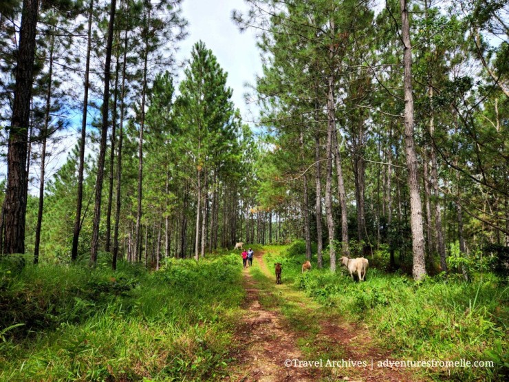
Salt River is a free public mineral bath located in a community by the same name near the coast of Clarendon, one of Jamaica’s south central parishes. Jamaica’s south coast isn’t popular with tourists because this part of the country isn’t marketed nor developed for tourism. Nonetheless, there are several gems here worth visiting and I aim to visit and write about as many as I can. Here’s how my recent family trip to Salt River went.
Continue reading “Salt River, Clarendon”Bull Head Mountain, Clarendon
The Bull Head Mountains is a 545-acre mountain range located in north Clarendon. The mountain is named for its shape of a bull head when seen out from sea. Bull Head Mountain Peak is located at 3600 feet (1097m) above sea level, and the gentle trail which leads to it is one of the best hiking trails in Jamaica. The Rio Minho, Jamaica’s longest river, originates in the Bull Head Mountains and its natural spring water is bottled straight from the source. What’s even cooler about these mountains is that they contain the geographical centre of Jamaica and there’s a marker to prove it. This post covers how to find the geographical centre of Jamaica and the Bull Head Mountain Peak.
Continue reading “Bull Head Mountain, Clarendon”St. Toolis: A South Coast Gem
St. Toolis is a district in Porus on the border of Clarendon and Manchester, in which a gorgeous free watering hole can be found. The residents call it Blue Hole but this river is actually a tributary of the Milk River in Clarendon. Porus was founded by Baptist missionary James Phillippo and became the sixth free village in Jamaica for ex-slaves after emancipation. Porus was originally named Vale Lionel after then governor of Jamaica Sir Lionel Smith, but the name eventually changed to Porus because of the porous nature of the district’s soil.
Continue reading “St. Toolis: A South Coast Gem”Brae Head Falls, Clarendon
Clarendon is not a parish which comes to mind when one thinks of a Jamaican adventure, but it’s a parish which has been on my mind to explore for a bit. Clarendon is located on Jamaica’s south coast in the centre of the island with a population of 246,000 people, most of whom reside in and around May Pen on the Vere Plains. Clarendon is bordered by St. Catherine to the east, Manchester to the west and St. Ann to the north. The parish, like all 14 parishes of Jamaica, is washed by the Caribbean Sea and has attractions like Milk River Bath and the recently crash-landed plane at Rocky Point on its south coast. Up north is mountainous with rivers, a nature reserve and the geographic centre of Jamaica at Bull Head Mountain Peak. It’s surprising that the area isn’t marketed for ecotourism, but again Jamaica is a country which is full of unmarketed potential. The waterfalls in Brae Head are often listed as being located in the neighbouring communities of Crooked River or Trout Hall, just because Brae Head isn’t on the map of Jamaica! Here’s how to find this remote corner of Jamaica.
Continue reading “Brae Head Falls, Clarendon”Empowerment Park, Clarendon
If you’ve ever taken a south coast Jamaican trip, you should know of the Juici Patties Restaurant in Clarendon Park. It’s the perfect stop for a bathroom break and for grabbing food and drink on the go. However, just behind the restaurant is Empowerment Park, a verdant well-tended space which I’ve never noticed before! That’s what happens when you’re hurrying too much in life. I wasn’t hurrying today so I noticed the park and thought I’d share it with you. Much like Emancipation Park in the city of Kingston, Empowerment Park enjoys a similar ambiance. Empowerment Park was officially opened on Sunday July 10, 2016 with the aim of promoting peace and providing a chill spot in this side of the island.
Continue reading “Empowerment Park, Clarendon”